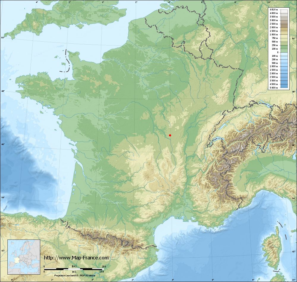
La Chapelle-au-Mans on the relief France map in Lambert 93 coordinates
|

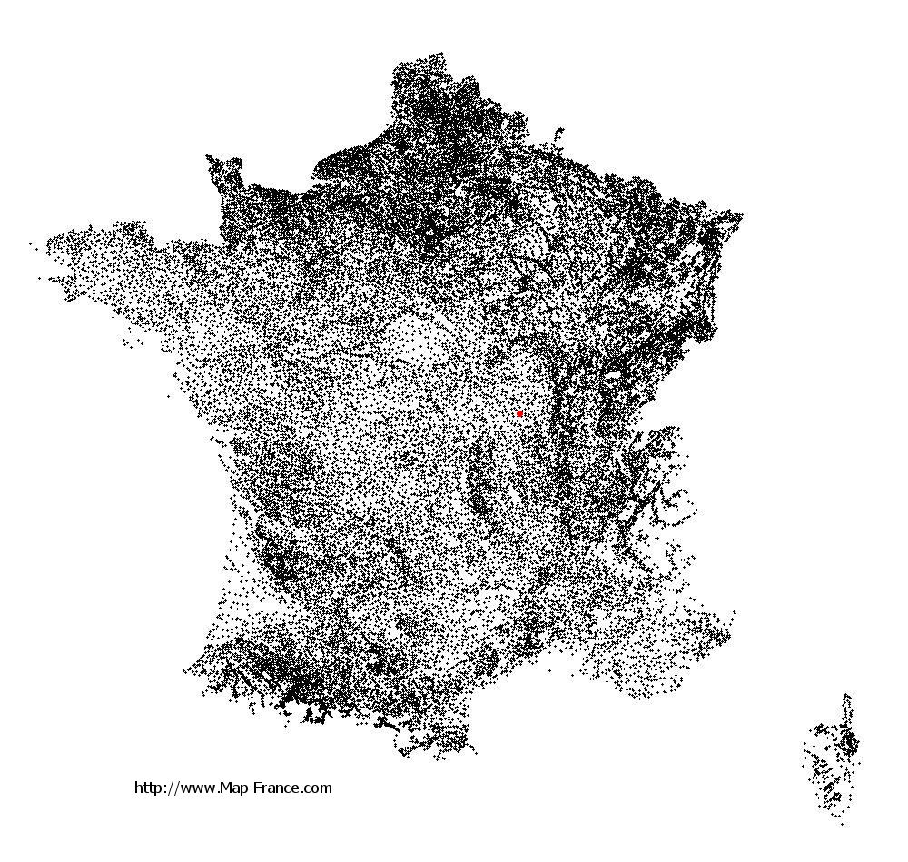
See the map of La Chapelle-au-Mans in full screen (1000 x 949)
|
At left, here is the location of La Chapelle-au-Mans on the relief France map in Lambert 93 coordinates.
Here are the altitudes of La Chapelle-au-Mans :
- Town hall altitude of La Chapelle-au-Mans is 374 meters
- Minimum altitude of La Chapelle-au-Mans is 255 meters
- Maximum altitude of La Chapelle-au-Mans is 401 meters
- Medium altitude of La Chapelle-au-Mans is 328 meters
Here are the altitudes of Mâcon, prefecture of Saône-et-Loire department:
- Town hall altitude of Mâcon is 190 meters
- Minimum altitude of Mâcon is 167 meters
- Maximum altitude of Mâcon is 347 meters
- Medium altitude of Mâcon is 257 meters
Here are the altitudes of the french biggest cities:
Paris : 33 meters
Marseille : 20 meters
Lyon : 237 meters
Toulouse : 146 meters
Nice : 10 meters
Nantes : 20 meters
Strasbourg : 144 meters
Montpellier : 35 meters
Bordeaux : 16 meters
Lille : 20 meters
Rennes : 35 meters
Reims : 83 meters
Click here for the terrain map of La Chapelle-au-Mans in full screen:
Relief map of La Chapelle-au-Mans
|
This relief map of La Chapelle-au-Mans is reusable and modifiable by making a link to this page of the Map-France.com website or by using the given code :
|
Terrain base map of La Chapelle-au-Mans
|
See the terrain base map of La Chapelle-au-Mans in full screen (1000 x 949)
|
Small relief base map of La Chapelle-au-Mans

|
This base map of La Chapelle-au-Mans is reusable and modifiable by making a link to this page of the Map-France.com website or by using the given code :
|
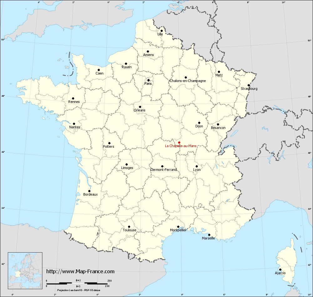
Map of La Chapelle-au-Mans with regions and prefectures
|
View the map of La Chapelle-au-Mans in full screen (1000 x 949)
|
You will find the location of La Chapelle-au-Mans on the map of France of regions in Lambert 93 coordinates. The town of La Chapelle-au-Mans is located in the department of Saône-et-Loire of the french region Bourgogne.
Geographical sexagesimal coordinates / GPS (WGS84):
Latitude: 46° 37' 35'' North
Longitude: 03° 58' 19'' East
Geographical decimal coordinates :
Latitude: 46.626 degrees (46.626° North)
Longitude: 3.972 degrees (3.972° East)
Lambert 93 coordinates :
X: 7 744 hectometers
Y: 66 145 hectometers
Lambert 2 coordinates :
X: 7 252 hectometers
Y: 21 820 hectometers
Below, the geographical coordinates of Mâcon, prefecture of the Saône-et-Loire department:
Geographical sexagesimal coordinates / GPS (WGS84):
Latitude: 46° 18' 24'' North
Longitude: 04° 49' 55'' East
Geographical decimal coordinates :
Latitude: 46.308 degrees (46.308° North)
Longitude: 4.831 degrees (4.831° East)
Lambert 93 coordinates :
X: 8 410 hectometers
Y: 65 802 hectometers
Lambert 2 coordinates :
X: 7 922 hectometers
Y: 21 482 hectometers
|
This map of La Chapelle-au-Mans is reusable and modifiable by making a link to this page of the Map-France.com website or by using the given code :
|
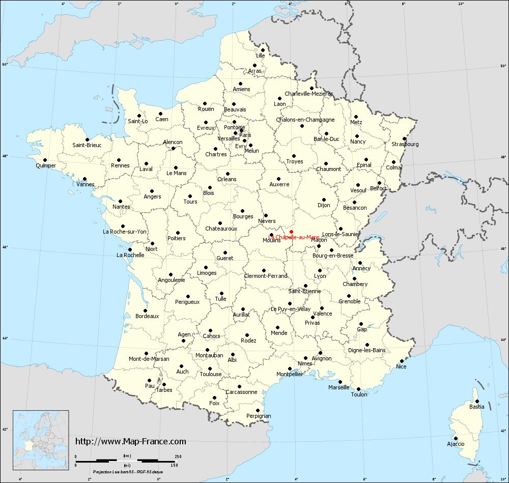
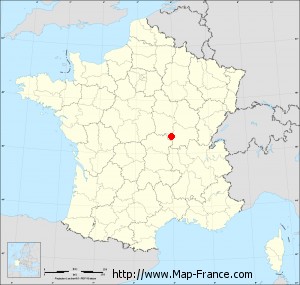
Map of La Chapelle-au-Mans with departments and prefectures
|
Voir la carte of La Chapelle-au-Mans en grand format (1000 x 949)
|
Here is the localization of La Chapelle-au-Mans on the France map of departments in Lambert 93 coordinates. The city of La Chapelle-au-Mans is shown on the map by a red point.
The town of La Chapelle-au-Mans is located in the department of Saône-et-Loire of the french region Bourgogne.
The latitude of La Chapelle-au-Mans is 46.626 degrees North.
The longitude of La Chapelle-au-Mans is 3.972 degrees East.
Here the distance between La Chapelle-au-Mans and the biggest cities of France:
Distances are calculated as the crow flies (orthodromic distance)
Distance between La Chapelle-au-Mans and Paris : 276.42 kilometers
Distance between La Chapelle-au-Mans and Marseille : 386.44 kilometers
Distance between La Chapelle-au-Mans and Lyon : 116.9 kilometers
Distance between La Chapelle-au-Mans and Toulouse : 389.96 kilometers
Distance between La Chapelle-au-Mans and Nice : 414.26 kilometers
Distance between La Chapelle-au-Mans and Nantes : 424.36 kilometers
Distance between La Chapelle-au-Mans and Strasbourg : 357.3 kilometers
Distance between La Chapelle-au-Mans and Montpellier : 335.29 kilometers
Distance between La Chapelle-au-Mans and Bordeaux : 404.33 kilometers
Distance between La Chapelle-au-Mans and Lille : 449.84 kilometers
Distance between La Chapelle-au-Mans and Rennes : 455.95 kilometers
Distance between La Chapelle-au-Mans and Reims : 292.49 kilometers
Clic here to see the map of La Chapelle-au-Mans in full screen:
La Chapelle-au-Mans on the map of french departments
|
This administrative map of La Chapelle-au-Mans is reusable and modifiable by making a link to this page of the Map-France.com website or by using the given code :
|
Administrative base maps of La Chapelle-au-Mans
|

See the administrative base map of La Chapelle-au-Mans in full screen (1000 x 949)
|
Small administrative base map of La Chapelle-au-Mans
|
This base map administrative of La Chapelle-au-Mans is reusable and modifiable by making a link to this page of the Map-France.com website or by using the given code :
|
 French Version : http://www.cartesfrance.fr